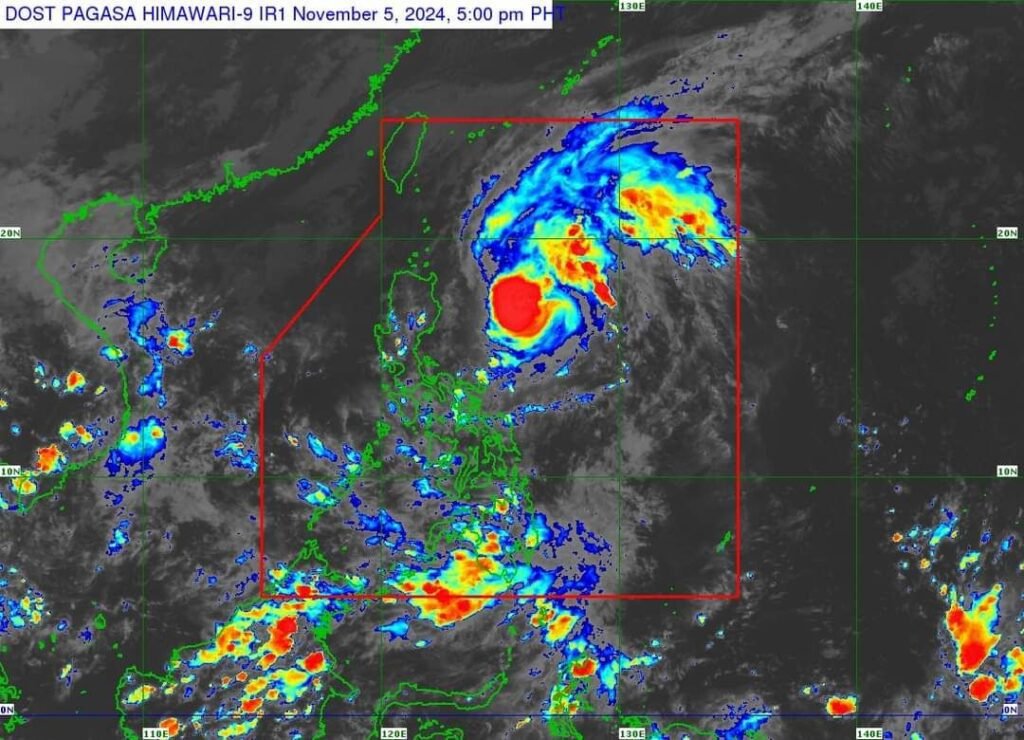
Typhoon Marce (international name Yinxing) slightly intensifies over the Philippine Sea east of Isabela.
As of 4 p.m. Tuesday (Nov. 5, 2024), Marce was at 480 km. east of Echague, Isabela, packing maximum sustained winds of up to 130 km. per hour (kph) near the center and gusts of up to 160 kph. It is moving northwest at 25 kph.
Tropical Cyclone Wind Signal (TCWS) No. 1:
Batanes, Cagayan including Babuyan Islands, Ilocos Norte, Ilocos Sur, Apayao, Abra, Kalinga, Mountain Province, Ifugao, the northern portion of Benguet (Mankayan, Buguias, Kabayan, Bakun, Kibungan, Atok, Bokod), Isabela, Nueva Vizcaya, Quirino, and the northern portion of Aurora (Dilasag, Casiguran, Dinalungan, Dipaculao, Baler, Maria Aurora)
Marce is forecast to move generally west northwestward today until Wednesday (Nov. 6) before decelerating and turning westward over the Philippine Sea east of Extreme Northern Luzon.
On the forecast track, Marce will make landfall or pass close to Babuyan Islands or the northern portion of mainland Cagayan on Thursday afternoon or evening (7 November). MARCE may exit the Philippine Area of Responsibility (PAR) region on Friday afternoon or evening.
Marce is expected to continue intensifying and may reach its peak intensity before making landfall over Babuyan Islands or Cagayan.
📷 Dost_pagasa Satellite image


