


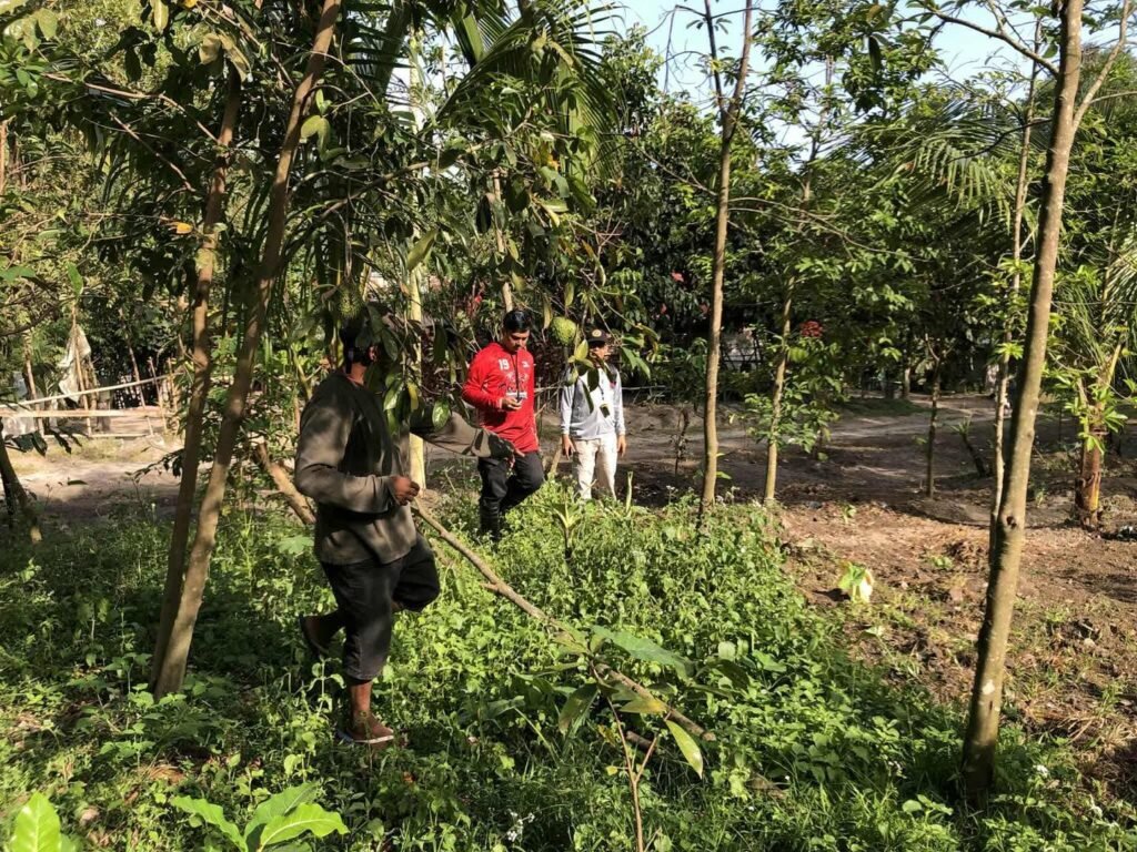
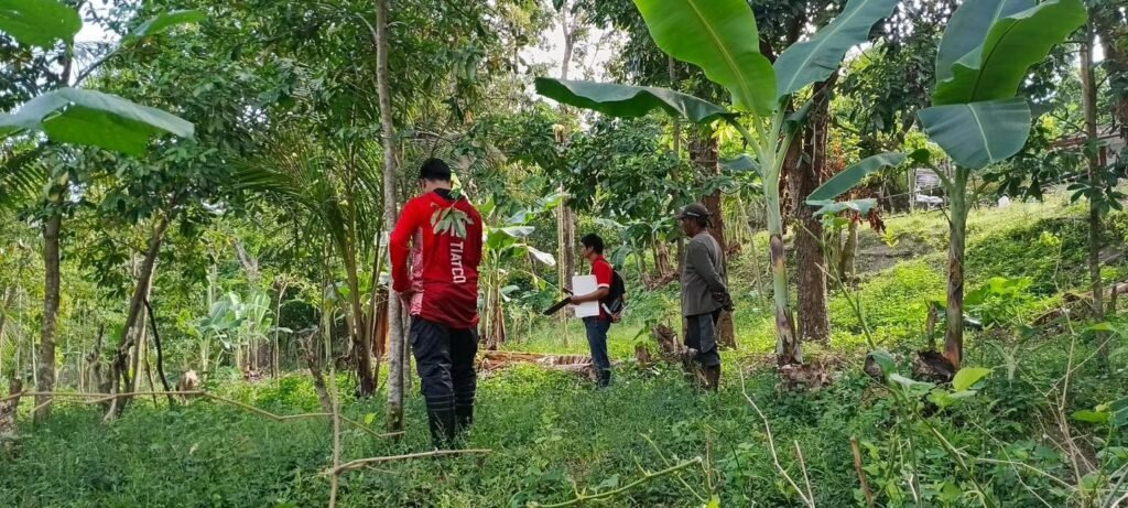
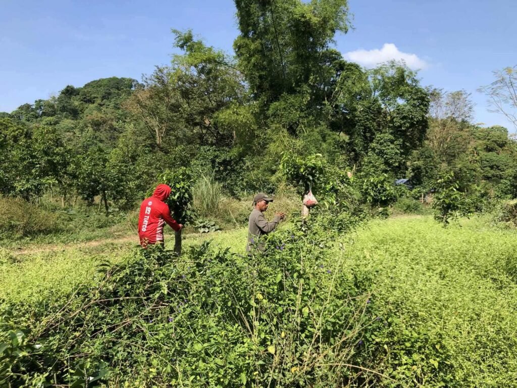
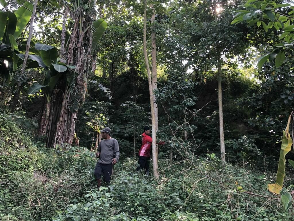
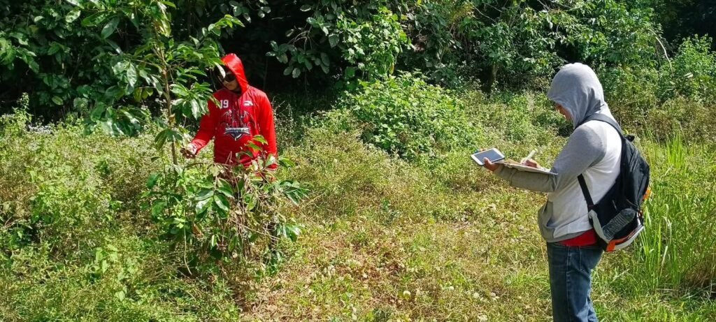
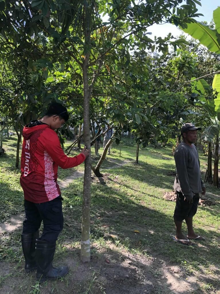
The Angeles City local government, under Mayor Carmelo “Jon” Lazatin II, has mobilized a multi-sectoral team to conduct the geo-tagging of plants and trees in Barangay Sapangbato, the city’s designated watershed area.
The activity brings together members of the Aeta community of Sapangbato, the City Environment and Natural Resources Office (CENRO), and the Angeles City Disaster Risk Reduction and Management Office (ACDRRMO) Research and Planning Unit, underscoring the city’s inclusive, science-based, and community-driven approach to environmental protection.
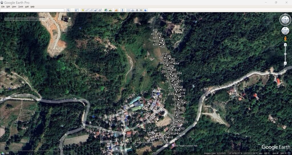
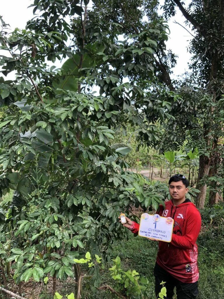
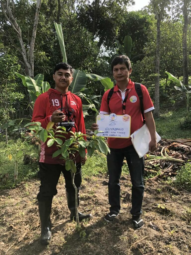
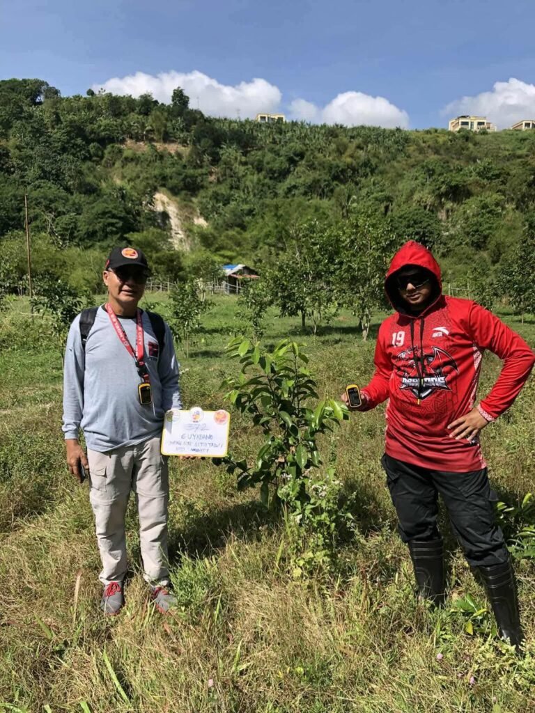
The geo-tagging initiative aims to generate updated data for Angeles City’s Greenhouse Gas (GHG) Inventory, which will serve as a key reference in the formulation and future updating of the Local Climate Change Action Plan (LCCAP). Updated GHG data are essential in identifying emission sources, guiding mitigation strategies, and strengthening climate adaptation measures.
Maintaining an accurate GHG inventory is mandated under the Climate Change Act and is vital to disaster risk reduction efforts, particularly in preparing for climate-related hazards such as typhoons, flooding, and extreme weather events.
City officials said the initiative complements ongoing tree-growing and reforestation programs in Barangay Sapangbato being implemented in partnership with private institutions, schools, and community stakeholders, reinforcing Angeles City’s long-term commitment to environmental sustainability and climate resilience for all Angeleños.